
Miyagi tour map
Miyagi Reconstruction Town-building Tour Map
A map by Miyagi Prefecture that brings together disaster ruins, memorial facilities and reconstruction infrastructure along the coast.
To pass on and share the recovery, Miyagi Prefecture publishes the "Miyagi Reconstruction Town-building Tour Map", introducing disaster ruins, memorial facilities and reconstruction infrastructure in the affected coastal towns (page posted 5 August 2026). It has PDF maps for each area and a collection of links to each facility.
Open the Miyagi Prefecture page
Kesennuma & Minamisanriku area
📄 Kesennuma area tour map (PDF) (a PDF published by Miyagi Prefecture; in Japanese)
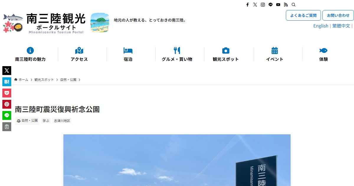 Minamisanriku Tsunami Memorial Park
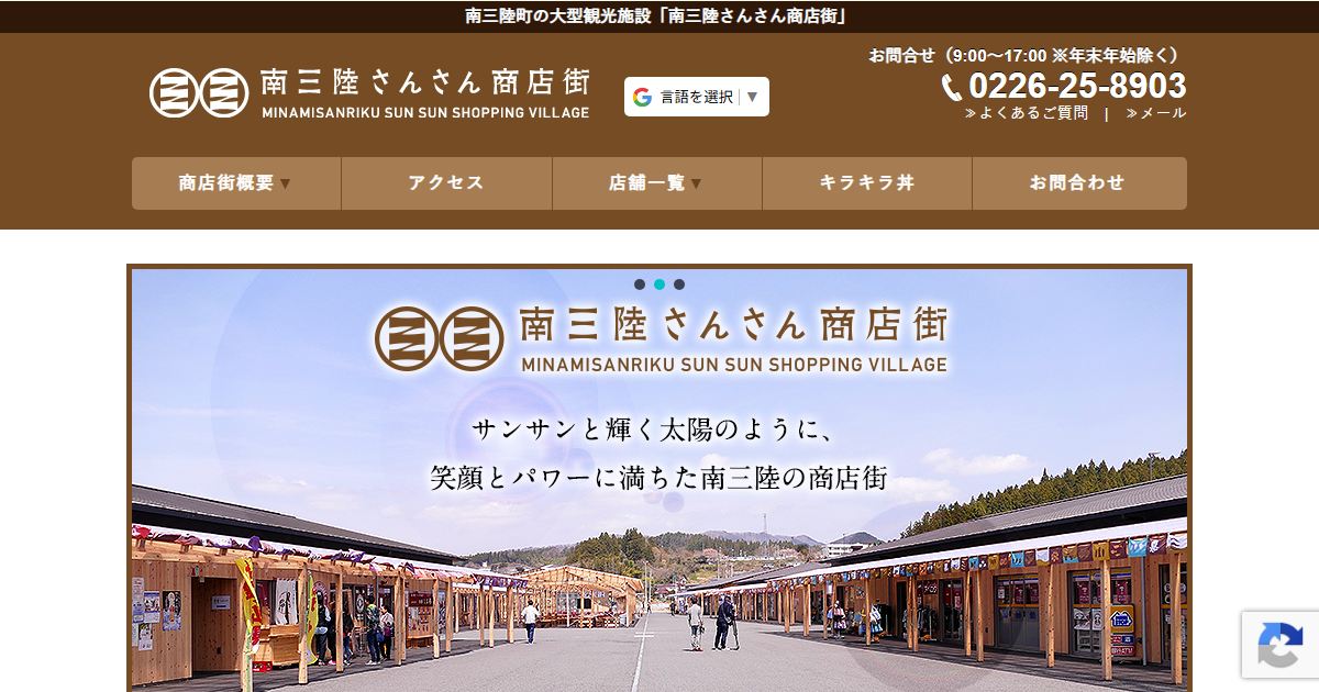 Minamisanriku Sun-Sun Shopping Village
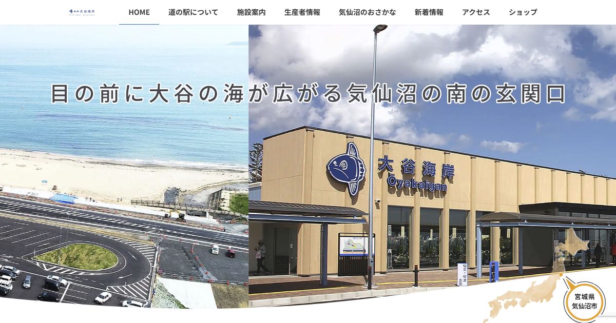 Michi-no-Eki Otani Kaigan
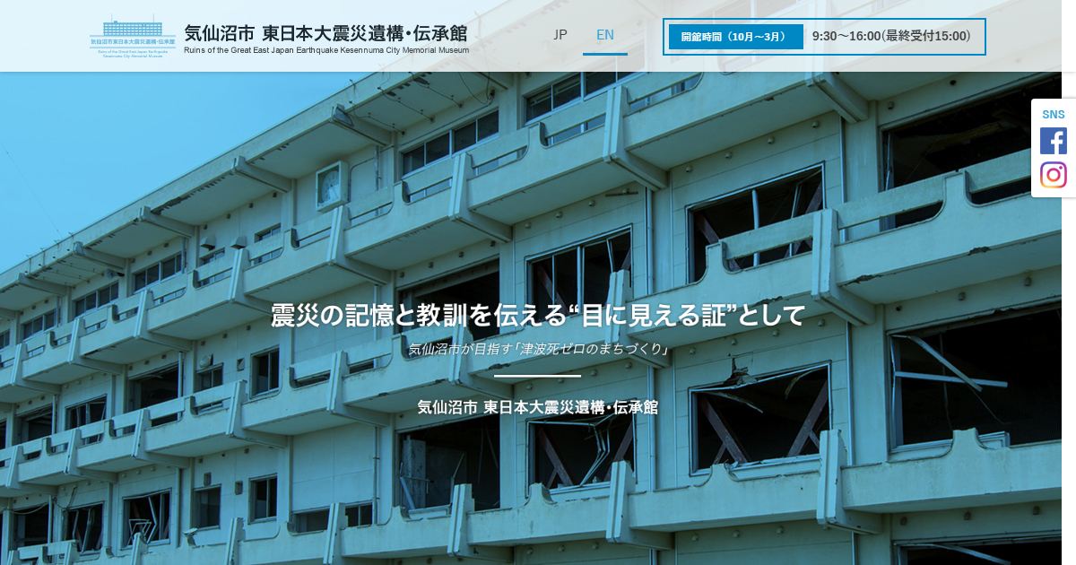 Kesennuma Great East Japan Earthquake Ruins and Memorial Museum
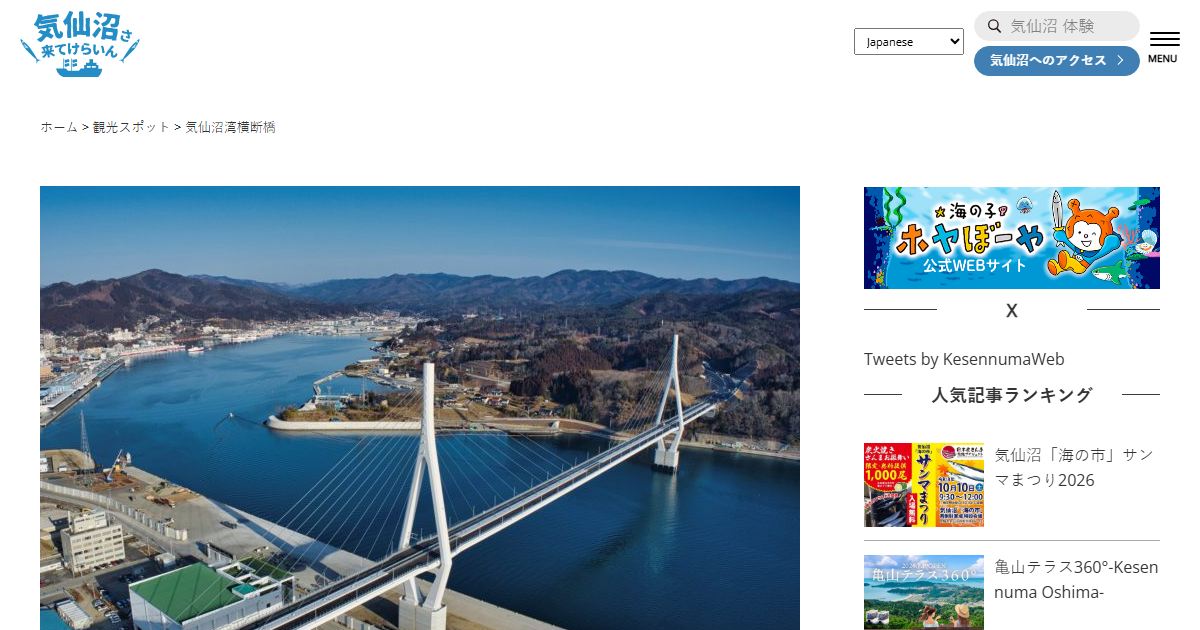 Kesennuma Bay Crossing Bridge
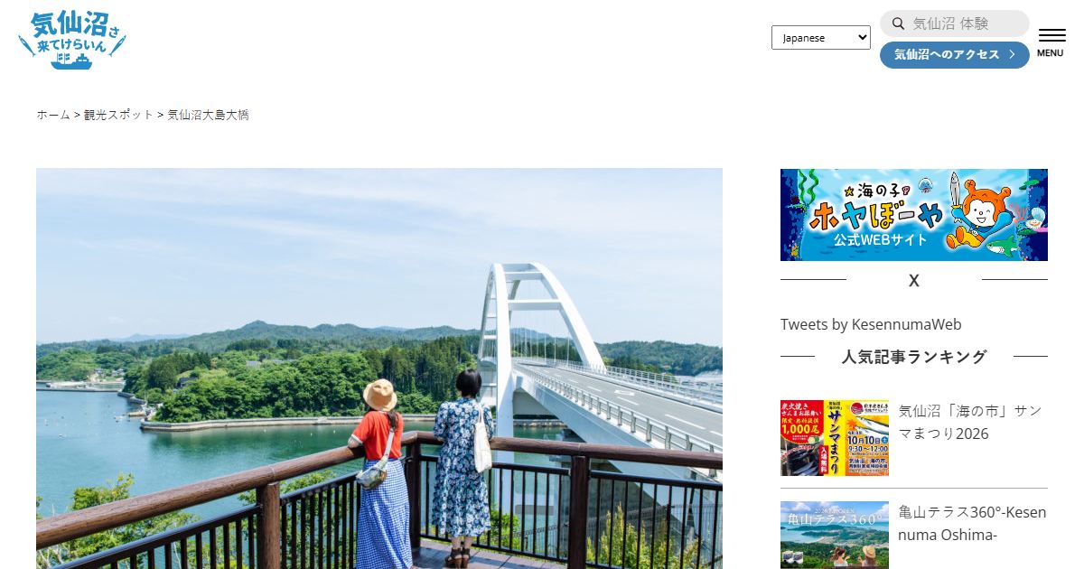 Kesennuma Oshima Bridge
Ishinomaki, Onagawa & Higashimatsushima area
📄 Ishinomaki area tour map (PDF) (a PDF published by Miyagi Prefecture; in Japanese)
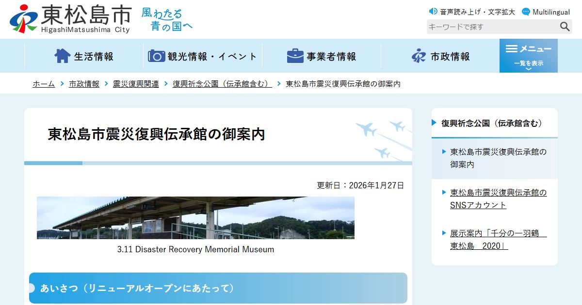 Higashimatsushima Earthquake Recovery Memorial Museum
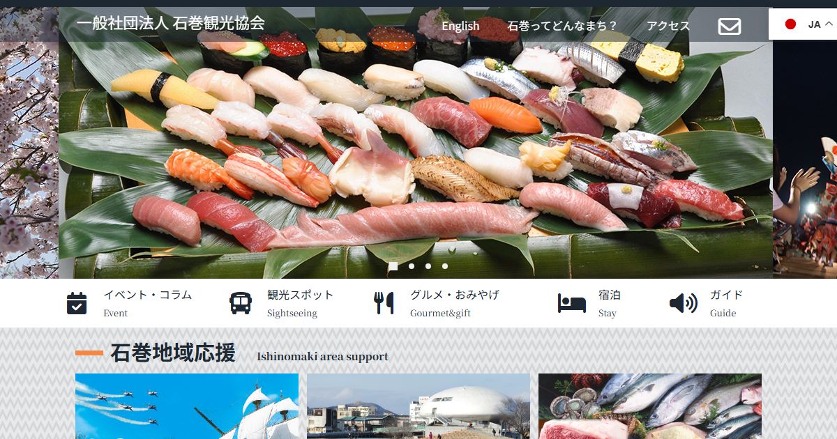 Around Ishinomaki Station
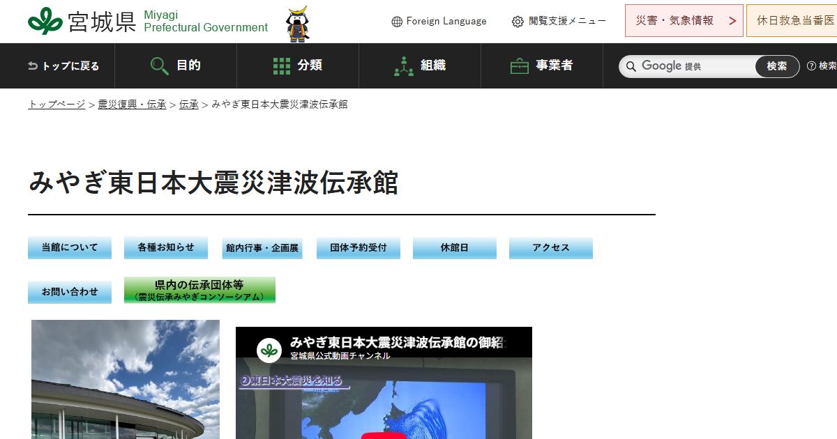 Miyagi Tsunami Memorial Museum
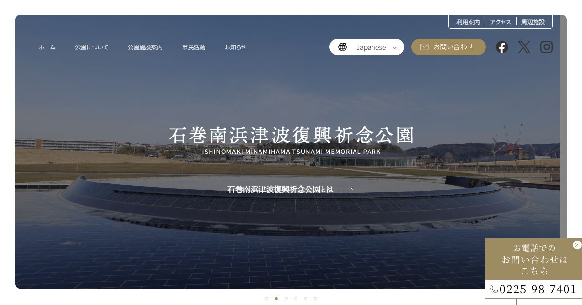 Ishinomaki Minamihama Tsunami Memorial Park
 Okawa Elementary School (Ishinomaki)
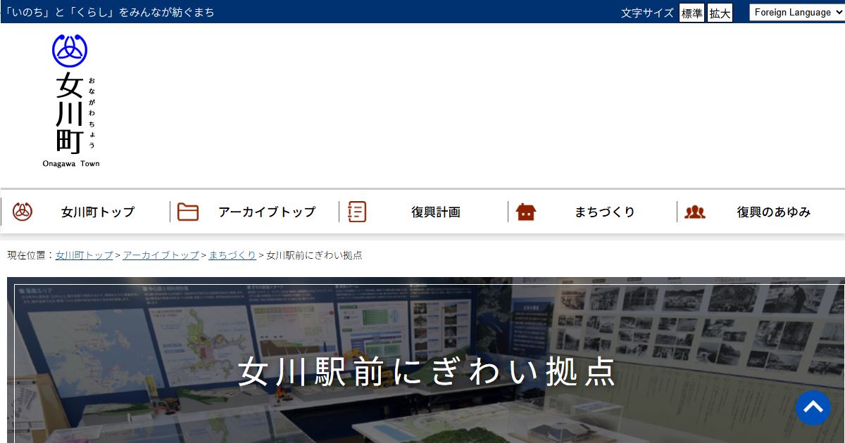 Around Onagawa Station
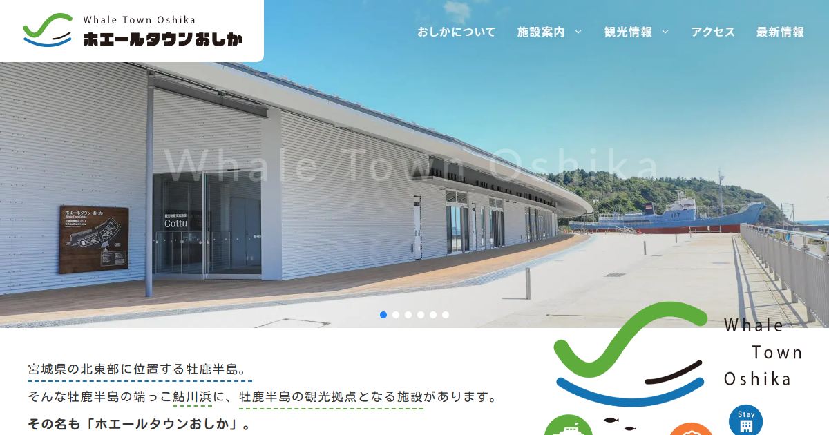 Whale Town Oshika
Sendai-Shiogama & southern Miyagi area
📄 Sennan-Senen area tour map (PDF) (a PDF published by Miyagi Prefecture; in Japanese)
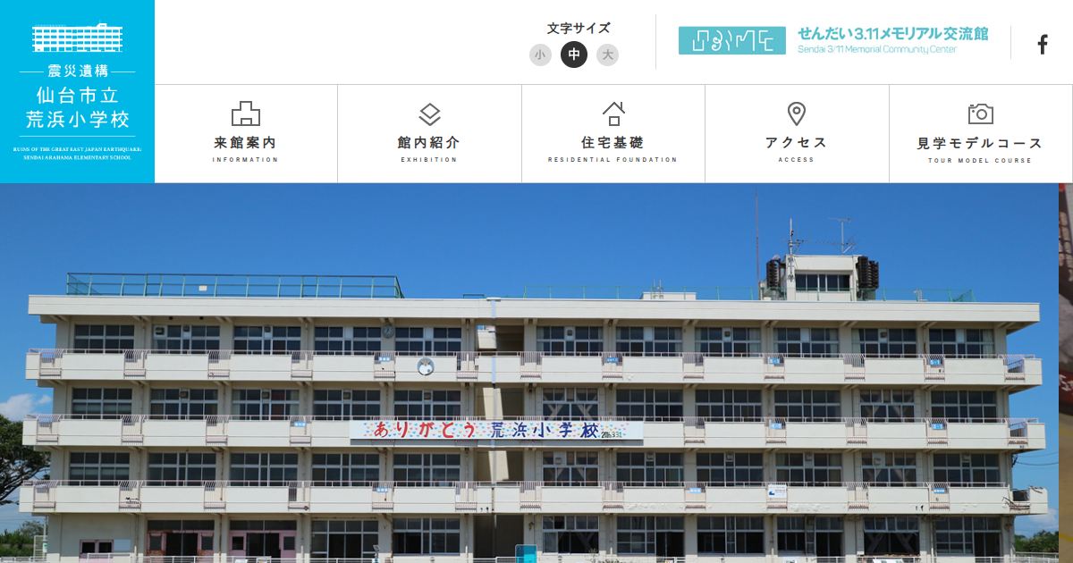 Sendai Arahama Elementary School (Disaster Ruins)
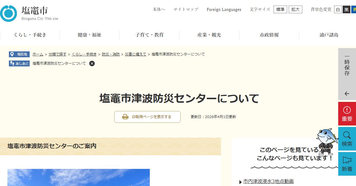 Shiogama Tsunami Disaster Prevention Center
 Kawamachi Terrace Yuriage
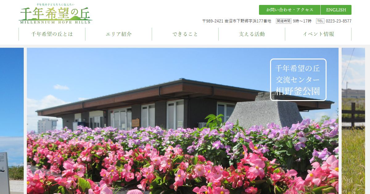 Millennium Hope Hills (Iwanuma)
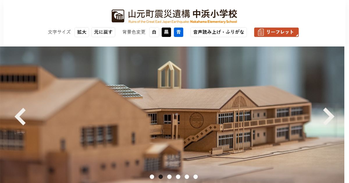 Nakahama Elementary School (Yamamoto)
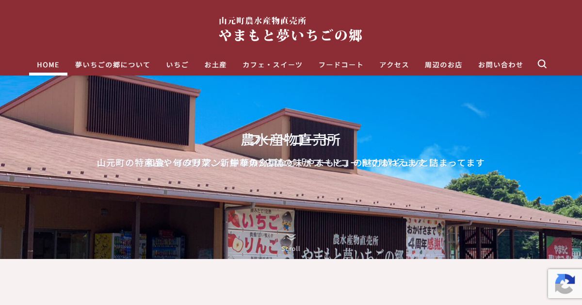 Yamamoto Yume Ichigo no Sato
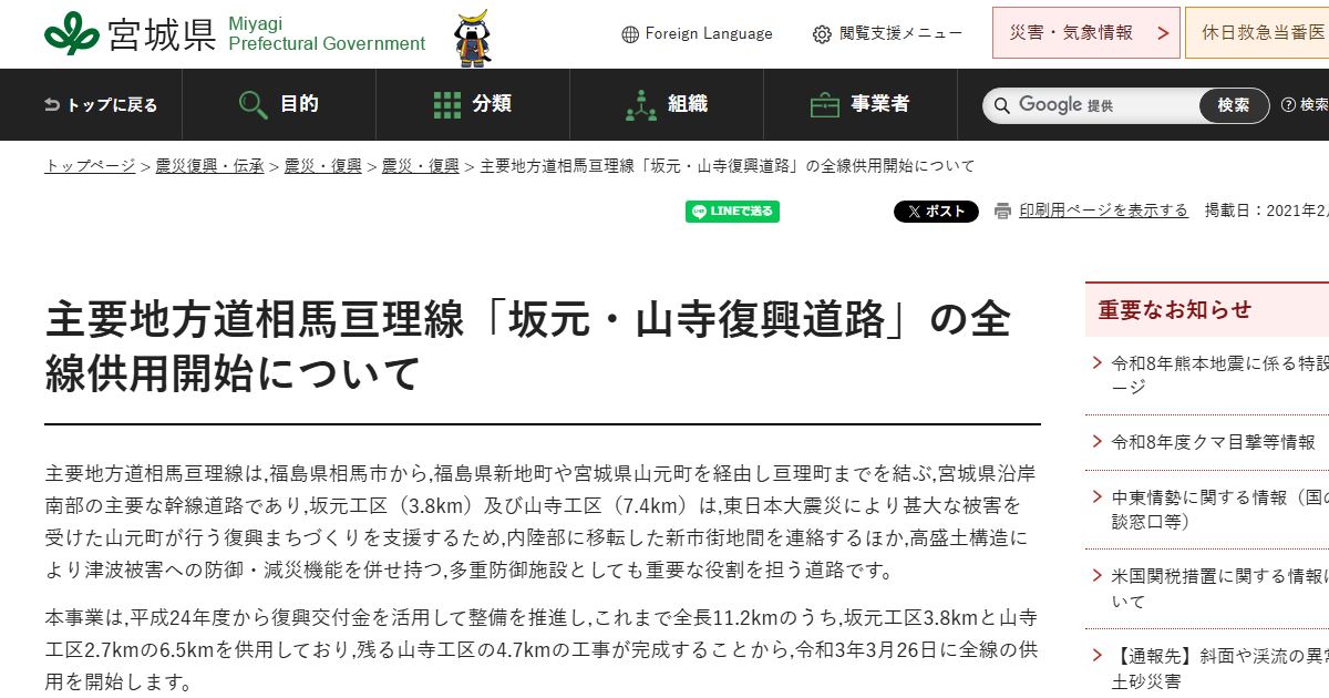 Reconstruction Road: Soma-Watari Line
The images are screenshots of each linked website taken in October 2026. Click an image to open the website. Opening hours, closing days and fees can change, so please check each website before you visit.